A Rainy and Warm Start to the Work Week
Good evening hope your week has been enjoyable!
Looks like the rain chances will continue through the weekend and into our Monday all thanks to this abnormal weather pattern that we are currently experiencing. A piece of energy from the jet stream will split south off the main flow and act as a boot to kick the low sitting over TX into motion. This motion will cause the cold front dropped across the TN valley to lift Northward as a warm front promoting some shower activity to the north of the front. The warm front should be out of the region by midday on Saturday.
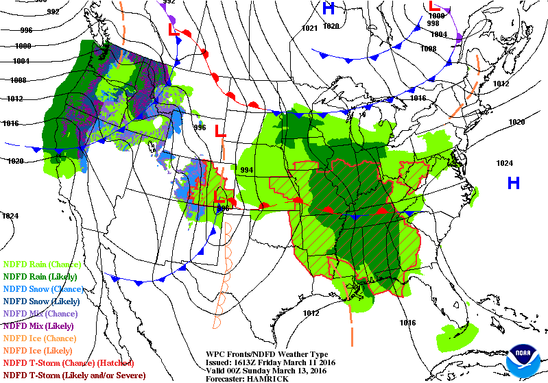 |
| 0Z Surface Analysis for Saturday night |
Warmer temperatures in the upper 70s and some 80s will be possible as well as some scattered showers mixed with a rumble or two of thunder due to the moist southwesterly wind flow. The same piece of energy that kicked the low out of TX will move into the area Saturday night into Sunday bringing more shower chances into the forecast. Temperatures should remain in the lower 70s Sunday into Monday.


Enjoy your weekend and stay dry!
-Alex Williams
No comments:
Post a Comment