A Warm Start to Your Spring Break!
Good Saturday Morning Springbreakers,
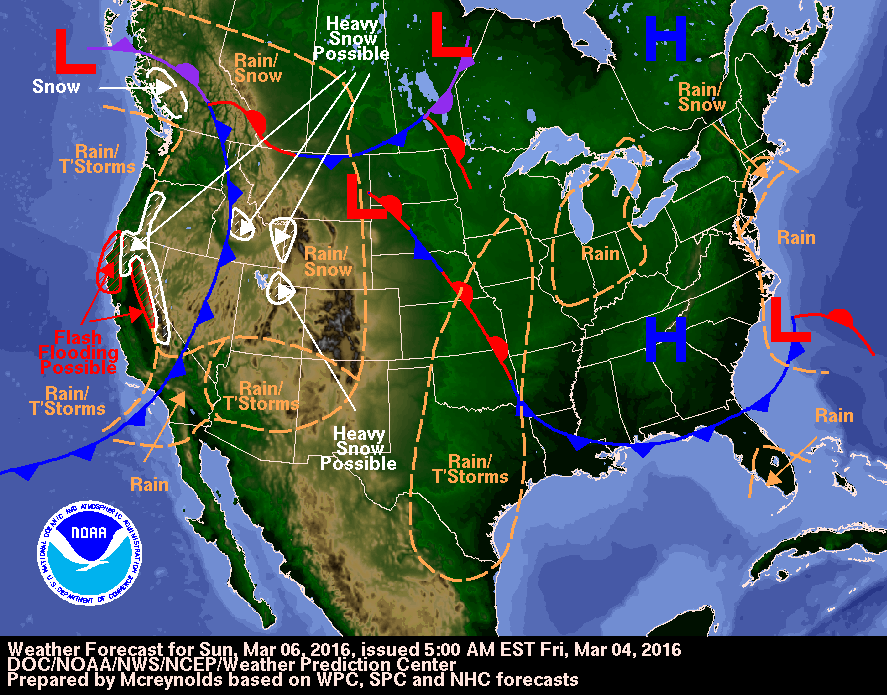
A warmup is on the way for the start of your spring break! A slight chance of rain is possible tomorrow morning as a cold front passes through the area. As the front moves east, sunshine will start to filter in later on in the afternoon. Highs will rise into the 50s across much of the region with the 60 degree mark possible in Bowling Green! A lot nicer than the temps we have had the past couple of days for sure. Temperatures behind the front could drop to near freezing Saturday evening, proof that winter is still in charge at least for the time being.
Synopsis:
A high pressure system will propagate to the east on Sunday helping to pull warmer air into the region. An upper level ridge looks to build over the southeast for the start of the week, causing moisture to stream in just to the west of the region bringing a possibility of rain into our forecast on Tuesday. Timing and placement of this event are still uncertain at this time. Check back with us this week for forecast updates.

Stay safe and have fun,
Alex Williams
No comments:
Post a Comment